MAP Services
MAP Services is a majority Indigenous-owned septic company based in Red Deer County, serving all of Alberta. We design, install, and repair septic systems for homeowners, and we've done the same work for Large scale projects for Municipal, Provincial and Federal Governments. Our crew holds current septic design and installation certifications, including a Plumbing Group B Safety Codes Officer and proud to be active AOWMA members. Call us and you'll talk to the person doing the work.
Drone Mapping
Why We Use It
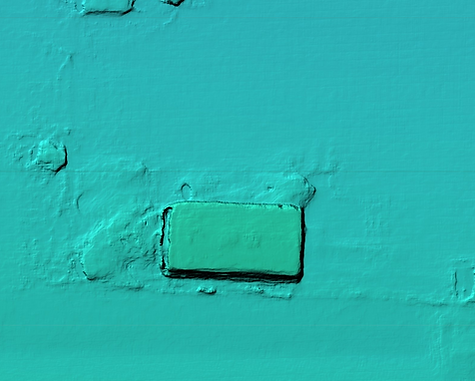
Before we design your system, we fly a drone over your property and take a series of overlapping photos. That data gets turned into an accurate 3D map of your land, including the shape, slope, and contours of the ground.
It means we know exactly what we're working with before anyone picks up a shovel. No guesswork about how much space your system needs, how much dirt has to move, or whether it'll work on your land's angles.
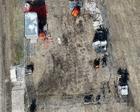


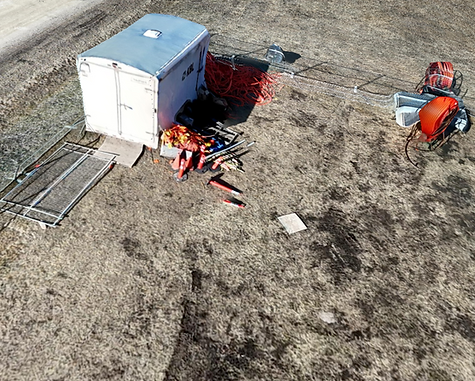


*Aerial view of a job site, 100 feet up*
This same data lets us map the exact contour and depth of the ground before we design your system.

We then use these files to create layouts for our system designs, gathering exact data and measurements, showing you, our customer, all the possible locations a system can fit to code on your property.


*These layouts are simply a display of potential for your understanding, and do not reflect a real field.*
Other Practices
Soil Samples
We take soil samples from multiple test pits on your property to figure out what your system needs — whether that's a mound built up off the ground for proper filtration, or a field placed at ground level. Either way, the goal is the same: no harmful bacteria reaching your drinking water.
Treatment Chambers
We place small plastic chambers over your treatment lines. They let helpful bacteria break down waste before it reaches the filtration layer, and let oxygen into the soil to keep that bacteria working. That keeps your system running the way it's supposed to.
Directional Drilling
In most cases, we can directional drill your lines instead of trenching. That means less digging between the tank and the system, less damage to your yard, and faster recovery for your grass and landscaping.
Control Panels
In larger systems, each line needs the right amount of liquid so the soil doesn't over-saturate or freeze in winter. We use control panels built for each system to send the correct dose to each segment, and they'll warn you early if something's wrong — a clogged line, tank backup, or damage from outside the system — before it turns into a real problem.